
Turning a Lemoore Street Address into Records
A useful address search does not begin by guessing a person. It begins by stabilizing the address. Preserve the street number, direction, suffix, ZIP, and any unit or lot clue. Then carry the APN from the county property search into the parcel map, permit trail, and deed request. That sequence makes a typed street name less fragile when a road is extended, a number changes, or a rural parcel has no normal situs.
Ownership, mailing, and residence are three different ideas. The Assessor can show an assessment relationship. The Recorder can show a recorded transfer. A permit can show an address and project. A reverse directory can show a listed subscriber or household line. None should be silently converted into a current resident claim. The address chain gets stronger when two sources agree.
- Normalize the address with USPS ZIP Lookup, preserving directionals and the street suffix.
- Search Kings ParcelQuest by street address. Save the APN, primary situs, current value, and any map reference.
- Open the free weekly parcel map and click the surrounding polygons. Record adjacent APNs one at a time.
- Use the Assessor’s wider subscription or counter channel for owner, mailing, exemption, transfer, and history fields.
- Take the owner and legal description to the Kings Recorder counter, then add permits, code cases, voter-file rules, and reverse directories as separate layers.
Note: A street-by-street search should preserve the APN even when the typed address changes between sources.
Lemoore’s APN Records Search
Kings County Property Information and Values Online, also described as ParcelQuest, offers a free starting search by APN or street address. Its public entry does not advertise an owner-name field. That matters on an address page because a name-first question needs a different route, while an address-first question can use the county’s own key. Vacant land may require an APN because no normal street number is available.
| Field label | Type | Required | Format or use |
|---|---|---|---|
| Assessor’s Parcel Number | Text | One search key | Enter the county APN; useful for vacant parcels |
| Street Address | Text | One search key | Street-number and address lookup |
| Accept / Reject | Buttons | Yes for entry | Accept the county disclaimer or leave the portal |
The free pages show the current tax year’s assessed values, a current parcel map, and secured-roll value. The paid full-access system adds current ownership, ownership history, exemptions, transfer history, physical characteristics, a brief legal description, situs, and tax/value fields. The full online access page describes that subscription layer. Pre-2005 physical characteristics may be blank because they were keyed only on request or after a reappraisable event. The Assessor can explain a missing field at 559-852-2486 or Assessor@co.kings.ca.us.
Use the free result to create a worksheet. List the APN, exact situs, map date, and any spelling used by the portal. The worksheet becomes much easier to audit when every later source points back to that same row.
Lemoore’s Weekly Street Map
The Kings County Assessor Parcel Web Map is free and updated weekly. Its documented public output is narrow: primary situs and APN. It does not promise owner names, zoning, flood data, or a buffer tool. Pan and zoom to the address, click the parcel polygon, and transfer each adjacent APN into the Assessor search. This is a map-led way to build a block list, not a legal survey.
The map can show why two addresses that look close do not share the same record path. A corner parcel may face one street but carry a different situs. A tract can have several polygons with similar street names. Agricultural land may lack a street address and be reachable only through an APN or legal description. For each selected parcel, keep the map’s primary situs separate from the owner’s mailing address.
The county GIS launch page documents the map’s weekly cadence and limited fields.

The planning and GIS image belongs at this point in the chain: city context may help explain zoning or a subdivision, while the county APN remains the identifier used for parcel research.
- Parcel
- An assessment unit assigned an APN. It is a research key, not a statement that every occupant is known.
- Situs address
- The physical location tied to the parcel record.
- Mailing address
- The destination for tax correspondence, which can differ from the physical situs.
- Plat
- A recorded subdivision or land map that can help hold lot and block identity steady.
- Criss-cross directory
- A reverse directory that starts with a street and number and returns a listed subscriber or household clue.
Lemoore Address Records by Street
Each address-keyed source answers a different part of the Lemoore street directory question. Property and deed records lean toward ownership. Permit and code records show activity at a place. Voter files are controlled by purpose. Reverse directories show only listed historical entries. The table keeps those limits visible while the street chain moves from a parcel to a household lead.
| Record set | Keeper | Street-level clue | Access |
|---|---|---|---|
| Assessment roll | Kings Assessor | APN, situs, value, and broader owner or mailing fields | Free limited search; subscription or counter for more |
| Parcel web map | Kings Assessor | Adjacent polygons, APNs, primary situs | Free; weekly; assessment geometry only |
| Deeds and liens | Kings Clerk/Recorder | Grantor, grantee, document, legal description, title chain | Counter, phone, microfilm, copy request |
| Permits and plans | Lemoore Community Development | Work class, status, issue date, address, district, APN | Paperless portal, reports, or request |
| Code cases | Lemoore Police or CSO | Complaint or case tied to an address | Form, phone, or public-records request |
| Approved voter file | Kings Elections / California SOS | Residence and precinct fields for an approved purpose | Application under Elections Code limits |
| Reverse directory | Library or genealogy room | Listed occupant or subscriber by number | Onsite volumes; gaps and unlisted entries |
The APN ties the assessor and map together. A legal description ties a deed to the land when an address shifts. A permit number dates work but does not identify every person connected to the project. A reverse directory points to a listed entry but does not prove present occupancy. Keep the field that each office actually supplies.
Paperless Lemoore Records Date Addresses
Lemoore Community Development moved building permits, plan submissions, and business licenses to a paperless suite on April 22, 2025. The current public page describes the new portal, while monthly council reports provide a useful sample of its address-facing output. A January 2026 permit report can show permit number, type or work class, status, issue date, main address, project, zoning district, and parcel/APN. Examples include utilities encroachment, special inspection, and residential window-changeout records.
That makes a permit a strong address-dating clue. It can show that a project was logged at a place and tie the event to an APN. Applicant or owner detail may require the underlying file or a request, and a permit does not prove who lives at the address. Building inspections can be reached through permits@lemoore.com; the inspected rules list inspection hours from 9 to 4:30. The city’s Community Development page and its building-inspections portal are the first checks.
The Community Development page shows the paperless permitting transition and related planning links.
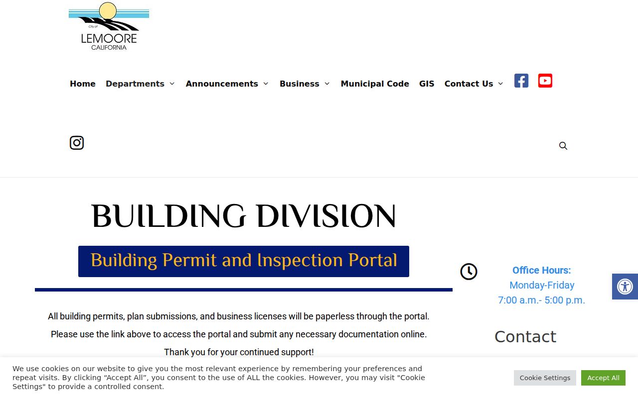
The building-inspection image connects the address trail to physical change. A permit report can help distinguish a long-standing address from a later alteration before a deed or directory search begins.
For nuisance, abandoned-vehicle, dumping, or zoning complaints, the city’s Code Enforcement route uses a form to Police or a community service officer at 658 Hill Street, with 559-924-9574 listed for contact. Records may require a CPRA request and can contain protected material.
Lemoore address-based code enforcement information is the relevant city source for complaint categories and submission rules.
The code-enforcement image adds a different address trail from permits: a complaint or case may be tied to a place, while the underlying file still follows privacy and disclosure rules.
Hanford Counter Deeds for Lemoore Streets
Kings Recorder deed research now starts with a call or counter visit rather than an online street directory. The current office says recorded documents and related indexes are not posted on the Internet. Ask about a limited search, the years available at a lobby terminal, older grantor-grantee books, and the current copy or certification schedule. The office is at 1400 W. Lacey Blvd., Hanford, and lists Monday through Friday, 8 to 5, with 559-852-2470 for access questions.
At the counter, search by grantor, grantee, document type, recording date, document number, or book and page when the index supports it. Request the microfilm image or copy after locating the identifier. Bring the APN, lot, block, tract, legal description, spelling variants, and an approximate date. The older county FAQ described an index that returned document numbers, but the current online cutoff controls. A CPRA request is not a substitute for the Recorder’s ordinary statutory copying service and does not require staff to build a title chain.
Deeds can trace titled owners and return addresses. They do not list every household member or every person who stayed at a property. For the historical household layer, the regional reverse directories and the Lemoore city directory collections supply a different kind of evidence.
Reverse Directories Along Lemoore Blocks
Polk regional directories are most useful after the modern address has been stabilized. Tulare Public Library documents Hanford-Corcoran-Lemoore volumes for 1967, 1970, 1978, 1986, and 1991, plus a wider Kings-Tulare run with gaps from 1959 through 2010. A reverse or criss-cross section starts with the street and house number, then lists a head of household, subscriber, or business clue. Browse in number order when the goal is a whole street rather than a single surname.
Telephone books are narrower. They may list a subscriber, telephone number, and address while leaving out unlisted numbers, household members, and people without a landline. A directory entry can include a spouse notation, a business line, or a listed address, but Polk abbreviations vary by edition. Read the abbreviation page before interpreting a mark. Record the exact title, year, page, and coverage note.
Kings County Library’s research gateway links local newspaper microfilm, obituary requests, genealogy rooms, and historical photographs. Those sources can help explain a change in a listed household, but an obituary is a newspaper notice and not a vital certificate. The complete historical shelf belongs on the city-directory page; this address work uses it only for continuity.
Street Names, APNs, and Lemoore History
Lemoore’s older lettered-street grid and newer named streets produce different search habits. The post office is on C Street, the library’s earlier move involved D and Fox, and 2026 permit reports include Tranquility Circle, Iona Avenue, and Myrtle Place. A compact historic block may be well suited to Sanborn sheets and reverse pages. A newer tract may depend more on APNs, subdivision plats, permits, and planning records.
No official Lemoore-wide renumbering year was located in the research. Do not fill that gap with a guessed date. When a typed address fails, ask City Clerk or Community Development whether an annexation, street extension, new subdivision, directional split, or addressing resolution changed the record. Preserve the old and new forms, then compare the lot, block, tract, APN, and legal description.
The APN is an insider tool because it can survive spelling and number changes better than a street line. It is not encoded with a person’s name. The legal description is the stronger bridge when a deed, map, and modern situs do not match exactly.
When Lemoore Street Records Leave City Hall
ZIP 93245 covers the City of Lemoore and postal territory beyond city limits. A 93245 address can therefore sit in unincorporated Kings County, where county planning or other county departments hold the relevant permit. ZIP 93246 centers on NAS Lemoore and its federal installation geography. The postal city name does not decide whether Lemoore City Hall, Kings County, or a federal office owns the record.
Use the Lemoore Post Office facility information to confirm the postal route, then check county GIS or city boundary material for jurisdiction. The Assessor situs identifies the parcel. The deed’s legal description identifies the land. A street directory that skips this step can place a county record under the wrong city office.
Permit, code, tax, and voter searches should each keep the jurisdiction note beside the result. NAS Lemoore may have federal records rules and may not produce an ordinary civilian parcel or municipal permit trail. Postal validation answers where mail goes; it does not answer who owns the land or who lives there.
What Lemoore’s Street Directory Omits
A street directory cannot name every person connected to an address. Unnamed household members, utility customers, delivery records, DMV addresses, Safe at Home participants, confidential voters, sealed court material, and protected officials do not become open because a parcel is visible. A map shows assessment geometry and APNs. An owner mailing address shows where correspondence goes. Neither one is a complete household roster.
Lawful personal use. Address records in Lemoore support family history, property research, civic review, reconnecting, and personal safety awareness. Do not use them to publish protected details, stalk, harass, intimidate, or harm another person.
California voter data is purpose-restricted under Elections Code sections 2188 and 2194, and commercial use can be a misdemeanor. California’s Safe at Home program can shield eligible participants with a substitute address. The federal DPPA protects DMV personal information. When a source returns less than expected, the gap may be a legal boundary rather than a search failure.