
Finding Lemoore Neighbors by Block
A block-level Lemoore neighbors search is a parcel workflow. Start with the known address, confirm its situs and APN, and then record the surrounding polygons. Move each adjacent APN into the Assessor channel before drawing a title or mailing clue. Add a permit report, council notice, reverse directory, or approved voter file only when the record’s purpose and access rules fit the question. The table keeps the block sources distinct.
| Source | What it shows about a block | Access |
|---|---|---|
| Kings parcel map | Adjacent parcel geometry, APNs, and primary situs | Free map; pan, zoom, and click; weekly update |
| Kings Assessor | Owner, mailing, value, exemption, and property fields per selected APN | Limited free access; paid or counter full access |
| Lemoore permit reports | Projects, work class, status, date, address, district, and APN | Portal, council packets, or request |
| Approved voter file | Residence and precinct fields for an approved statutory purpose | Application; confidential records excluded |
| Reverse directory | Historical listed occupants by house number | Library or genealogy-room volumes onsite |
| Council and planning notices | Applicant, property, hearing, and public context | City agendas, notices, and records request |
Owners, mailing recipients, listed subscribers, and current neighbors are not interchangeable. A block map can organize the first three. It cannot create a roster of everyone who lives nearby. Use the record’s own language and preserve the date it was checked.
Lemoore Neighbor Parcels by Address
The Kings County Assessor Parcel Web Map is free and updated weekly. Its documented public fields are primary situs and APN. There is no verified public owner, zoning, flood, or buffer layer on the landing page. Pan and zoom from the known address, click the adjacent polygons, and write down each APN. Then transfer those identifiers to the Assessor’s property search or ask about the wider subscription and counter route.
The map’s visual edge is an assessment boundary, not a legal survey. A corner parcel may have a situs on another street. A shared block may contain several tract or subdivision forms. Agricultural land may have no normal street number. The APN worksheet prevents a visual neighbor from becoming an unsupported owner or resident claim.
The Kings parcel web-map page describes the weekly update and limited output.
California Megan’s Law is another official map-based record with its own publication and misuse restrictions.
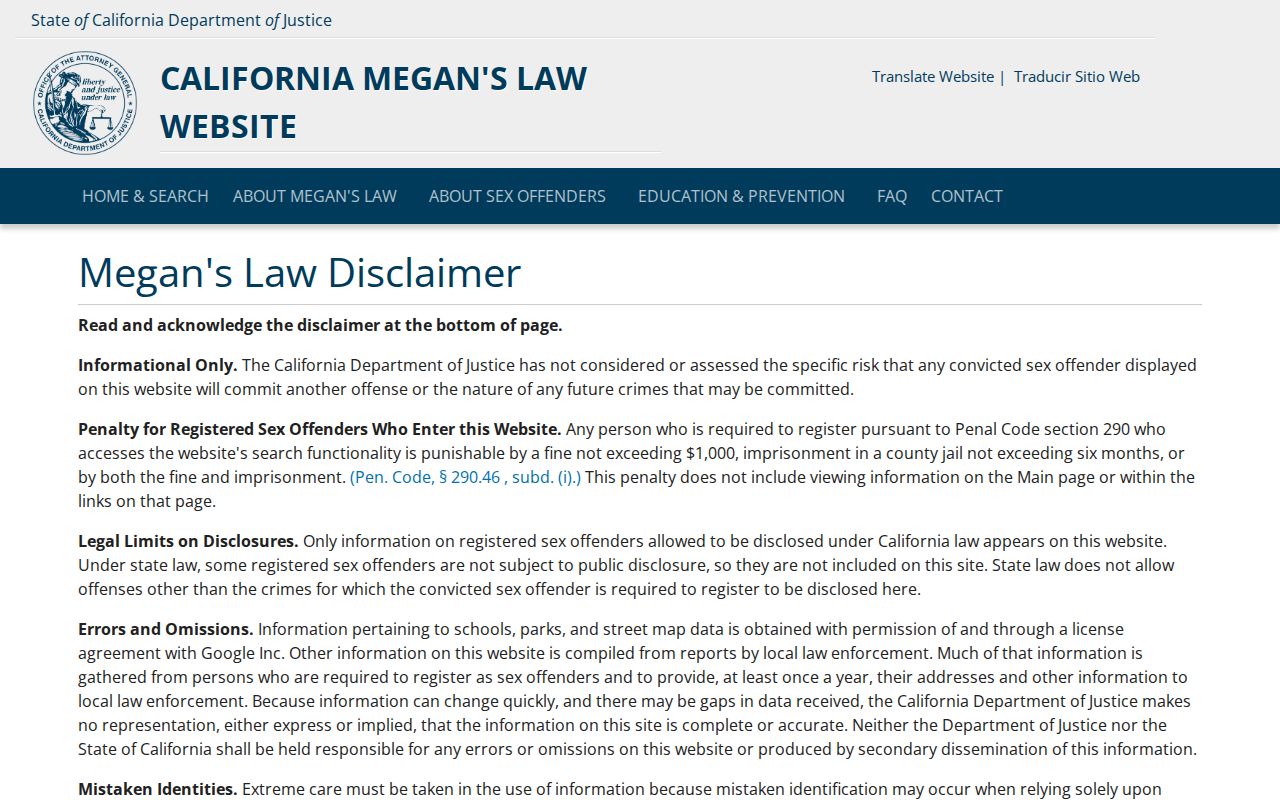
The registry image is placed beside the parcel method as a caution: a public map or registry can show a statutory record, but neither proves who occupies every nearby dwelling.
Lemoore Neighbor APNs Around One Address
Each selected APN can move through a narrow chain. The free property search supplies address, current value, and parcel basics. Subscription or counter access can supply owner, mailing, exemption, transfer, history, and physical-characteristic fields. The Clerk/Recorder can supply the deed chain through a Hanford counter or microfilm search, but current recorded-document indexes and images are not on the public Internet.
Keep the block worksheet organized by APN rather than by an assumed person. For each parcel, write the primary situs, owner field if lawfully available, mailing field, legal description, deed identifier, permit identifier, and date. A different mailing address may suggest an absentee title holder, but it does not identify who lives at the parcel. A same mailing address across parcels may reflect correspondence, not a shared household.
| Map output | Polygon, APN, and primary situs |
|---|---|
| Assessor output | Value and wider ownership or mailing fields, depending on access level |
| Recorder output | Recorded parties, document identifiers, and legal description through counter access |
| Block conclusion | Parcel and title context, not a list of every household member |
Mapping a Lemoore Neighbor Block
The adjacent-parcel walkthrough turns one address into a careful block view. It is narrower than a whole-street directory and more useful when the question concerns immediate surroundings, a property history, a public notice, or a family’s former address. The Lemoore by-street record chain takes over when the search needs every number along a named road.
- Normalize the starting address with USPS, then locate the matching primary situs in the Kings map.
- Click each surrounding polygon and transfer every adjacent APN into the worksheet.
- Check the Assessor for the fields available at each APN. Keep situs, mailing, owner, value, and exemption labels separate.
- Search city permits, council notices, or planning material by the address or APN when a dated project or hearing matters.
- Stop at the privacy boundary. Use a custodian for a lawful record question rather than trying to infer an unnamed household.
A block is a relation between parcels, not a claim about every person in the radius. This distinction keeps a Lemoore neighbors search useful without overstating what the map can show.
Lemoore Neighbor Permits Along Blocks
Lemoore Community Development moved building permits, plan submissions, and business licenses into a paperless suite on April 22, 2025. January 2026 council reports show permit number, type or work class, status, issue date, main address, project, zoning district, and APN. Those fields can identify a dated project along a block and help distinguish a current parcel from an older record form.
The Community Development page is the portal and planning starting point. Building inspections lists permits@lemoore.com and inspection hours of 9 to 4:30. Code-enforcement complaints use address-based categories and a Police or community service officer route at 658 Hill Street, 559-924-9574. The underlying file may require a public-records request and may contain protected material.
Permits show activity at an address. They do not prove who lives there, who owns the parcel, or who performed the work. Preserve the permit number and APN, then leave the person question to a source designed for names.
Reverse Directories Near Lemoore Addresses
Historical reverse directories can add a listed household clue to the block. Tulare Public Library documents Polk regional volumes that include Hanford, Corcoran, Lemoore, and Armona, with named years from 1967 through 1991 and a wider Kings-Tulare run reaching to 2010. Browse street and house number rather than relying on an alphabetical name. Compare the exact address in more than one edition.
Telephone books are narrower and omit unlisted subscribers and many household members. Directory abbreviations vary by edition. Read the key, capture the title page, and record the volume, year, page, street number, and any spouse or business mark. A listed line is a historical clue, not a present neighbor record.
Kings County Library’s research gateway adds obituary requests, newspaper microfilm through Digital Reel, Local Genealogical Rooms, historical photographs, and genealogy links. A neighborhood history may be visible in a newspaper or image even when no current organization roster is public.
Lemoore Neighbor Contacts, Not Rosters
No official city umbrella directory of neighborhood associations was located. Lemoore’s public civic layer is better represented by council districts, Planning and Parks commissions, school and community organizations, the Chamber member directory, and neighborhood-specific planning notices. These sources can identify a public meeting, a project, or a contact point. They do not authorize a request for a private membership list.
| Public civic layer | Useful block clue | Access route |
|---|---|---|
| City council and notices | District, public hearing, applicant, property context | Lemoore City Clerk and city notices |
| Planning and Community Development | Planning, GIS, subdivision, permit, and project material | City department page |
| School or community group | Public event or published contact, if the group chooses to post it | Organization’s own public channel |
| Chamber member directory | Public business contact, not a resident roster | Chamber publication or public request |
HOAs are private corporations. Secretary of State filings may identify an agent or address, but the existence of an HOA does not make a member list public. Congregations, block watches, veterans groups, and other organizations may publish officer pages while keeping membership private.
Lemoore Neighbor Voter Data Is Restricted
California My Voter Status is a private exact-match screen requiring the voter’s name, date of birth, and an accepted personal identifier. It can show the user’s registration and election status, but it cannot search a Lemoore block. A Kings voter-registration page explains the local file boundary. A qualified voter-file request may use residence and precinct fields for election, scholarly, journalistic, political, or governmental purposes. Statewide access costs $100; up to ten specified voters cost $30 per record, capped at $100. Kings County’s current report price comes from its latest request form.
Commercial use is prohibited and can be a misdemeanor under Elections Code sections 2188 and 2194. Safe at Home participants can register confidentially, and protected records are excluded. The voter file is therefore not a neighbor directory even when a permitted extract contains address fields. Use it only for the approved purpose and security conditions.
The California voter-status screen demonstrates the self-check boundary, while the county Elections office supplies the qualified request route.
Official Lemoore Neighbor Rolls Versus Tools
Official records have a named custodian, a defined field set, and a stated access rule. Commercial neighbor tools often recombine uncertain public and marketing data, may confuse former and current associations, and cannot override a sealed, confidential, or redacted source. The comparison is about method, not a recommendation of any service.
| Question | Official source | Commercial compilation category |
|---|---|---|
| Who owns or is assessed? | Assessor fields and recorded deed | May merge old property and marketing data |
| Who is registered? | Private self-check or approved voter extract | Cannot lawfully bypass voter limits |
| Who lived there before? | Directory, census, obituary, deed, and probate trail | May blend dates and former addresses |
| What happened at the parcel? | Permit, notice, or court custodian | May show stale or unverified summaries |
For a Lemoore neighbors question, cite the official field and its date. If the result matters, call the office or request the record that holds it. A polished compilation is not more authoritative than the source behind it.
California Attorney General privacy guidance explains consumer deletion and opt-out rights for covered business data.
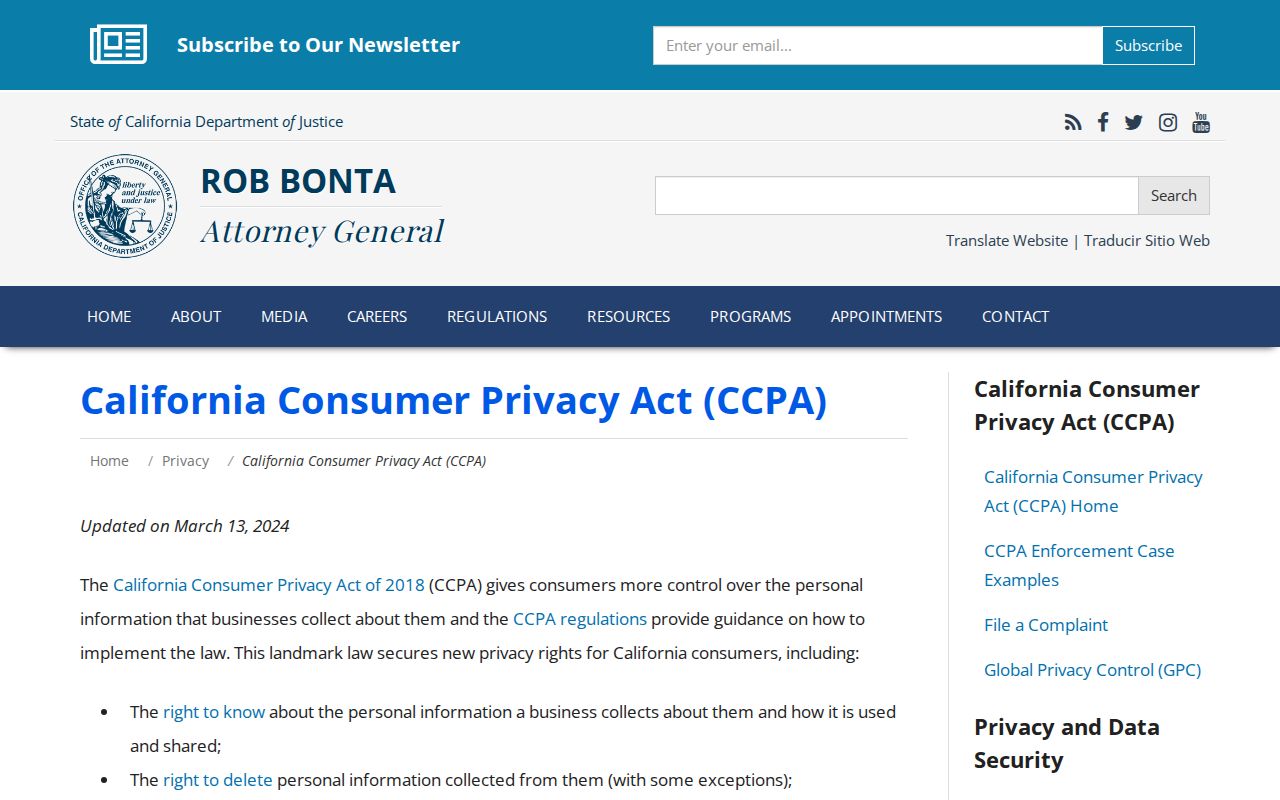
The privacy image connects the comparison to California’s consumer privacy guidance: deletion or opt-out from a commercial profile does not erase a government source, and a public source still has its own access rules.
Privacy Limits on Lemoore Neighbors
What stays private includes unnamed household members, utility accounts, delivery records, DMV addresses, Safe at Home substitute addresses, confidential voters, sealed or juvenile cases, adoption material, and redacted personal identifiers. A parcel map is a directory of land and title interests, not a list of everyone who lives nearby. A Megan’s Law map hit is a statutory registry result and does not prove who occupies every surrounding dwelling.
Lawful personal use. Use a Lemoore neighbors lookup for getting to know a block, family history, civic review, property curiosity, reconnecting, and personal safety awareness. Do not use records to stalk, harass, intimidate, publish protected details, or harm anyone.
California’s CCPA and CPRA framework gives covered-business consumers rights to know, delete, correct, limit certain uses, and opt out of sale or sharing, with exceptions. The Attorney General’s privacy guidance is a route for commercial data questions. It does not turn a private block roster into a public record. The clean end to a neighbor search is a dated, lawful parcel or civic fact with its limit plainly stated.